I have kept an article from the 10th September 1985 issue of The News which gives details about the marine life of upper Spencer Gulf. Parts of this article are reproduced below:-
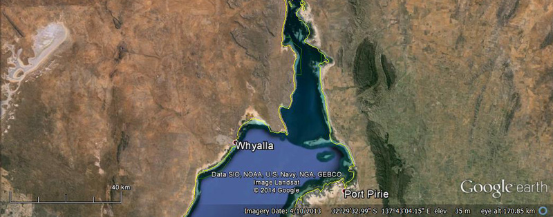
The Iron Triangle girdles the fish-rich Spencer Gulf. This body of water, along with other gulf waters, is unique because of SA’s latitudinal position and lack of significant rainfall and freshwater input.
The gulfs, particularly upper Spencer Gulf, are termed reverse estuaries with higher salinities (up to 52% at their heads rather than at the ocean end- seawater normally has a salinity of 35%).
They may also be termed sub-tropical refuges as many of the significant marine species found in the area have close affinities to species found in tropical regions.
These include mangroves, King George whiting, western king prawns and a number of seagrass species.
Upper Spencer Gulf is one of the most environmentally important areas of SA. It has large expanses of seagrass and SA’s largest stands of mangroves, plants which provide substantial primary production for the use of other organisms, including recreationally and commercially important fish species.
The major fisheries in upper Spencer Gulf are for King George whiting, yellowfin whiting, garfish and snapper. In addition, upper Spencer Gulf is a major nursery area for the Western King Prawn fishery.
Developmental fisheries in the area include Southern Calamari Squid and Blue Swimmer crabs. All resources, except prawns, are exploited by both the recreational and commercial sectors. Local government authorities have indicated that the recreational fisheries are an important part of the tourist industry of the area.
The production of target species has been increased through the construction of artificial reefs.
A major reef has been constructed off Whyalla by the local angling association, with advice from the Fisheries Department.
In addition to the prohibition of trawling for prawns in Upper Spencer Gulf to protect juvenile stocks, aquatic reserves to protect nursery areas and act as refuges (both genetic and protection) for other species have been proclaimed at Yatala Harbor and Blanche Harbor/Douglas Bank.
Both reserves were declared in December 1980 and both are about 30 kilometres south of Port Augusta. The Blanche Harbor-Douglas Bank Aquatic Reserve is on the western seaboard of the gulf and the Yatala Harbour Aquatic Reserve is on the eastern seaboard (opposite side). The main purpose of these reserves is to protect the mangrove and seagrass communities and the associated fish nursery areas.
A restriction on netting operations north of Douglas Bank has been proclaimed to provide for the recreational sector. Commercial net fishing for garfish and yellowfin whiting mainly takes place during the autumn and winter months (March to August).
The ecological and fisheries importance of upper Spencer Gulf requires that the marine environment be maintained.